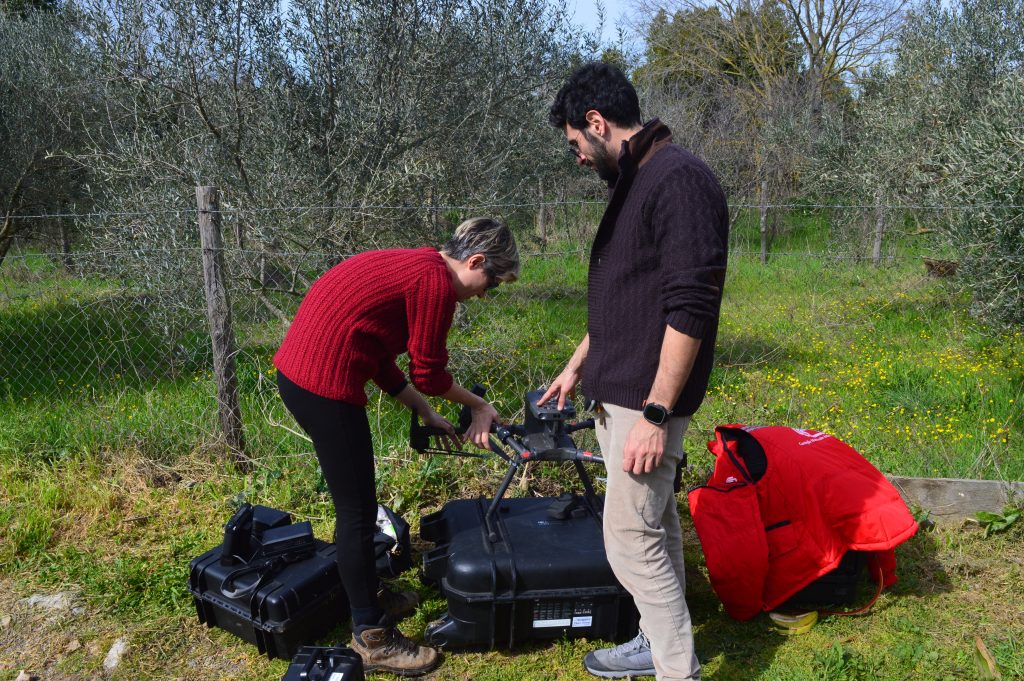
During the last weekend, between Friday 15 and Sunday 17 March our project partners from the Italian National Research Council (ISPC – CNR) carried out a data acquisition with a LiDAR sensor-equipped drone to 3D scan the land surface of the Petrolo plateau. The advantage of using drone-based LiDAR is the possibility of penetrating tree canopy and obtaining a much clearer representation of surfaces in the woodland areas. In addition, having the LiDAR attached to a drone allows us to have a very high-resolution representation of the terrain increasing the chances to detect ground anomalies to be eventually identified as archaeological features.

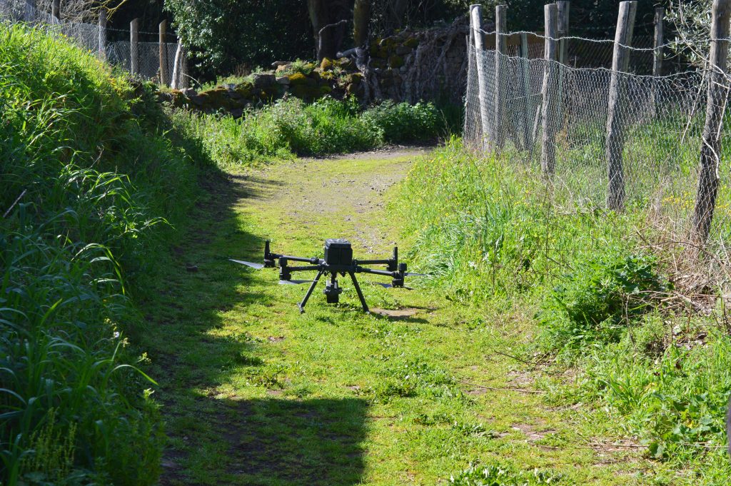
The DJI Zenmuse L1 drone employed to perform the acquisition over the Petrolo plateau.
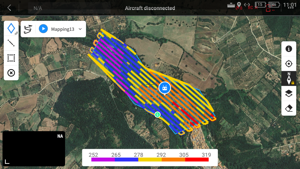
the drone is set up to automatically fly over the plateau following a trajectory enabling the full coverage of the study area.


