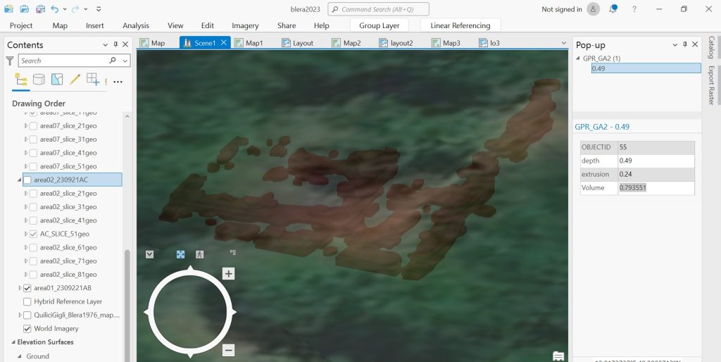
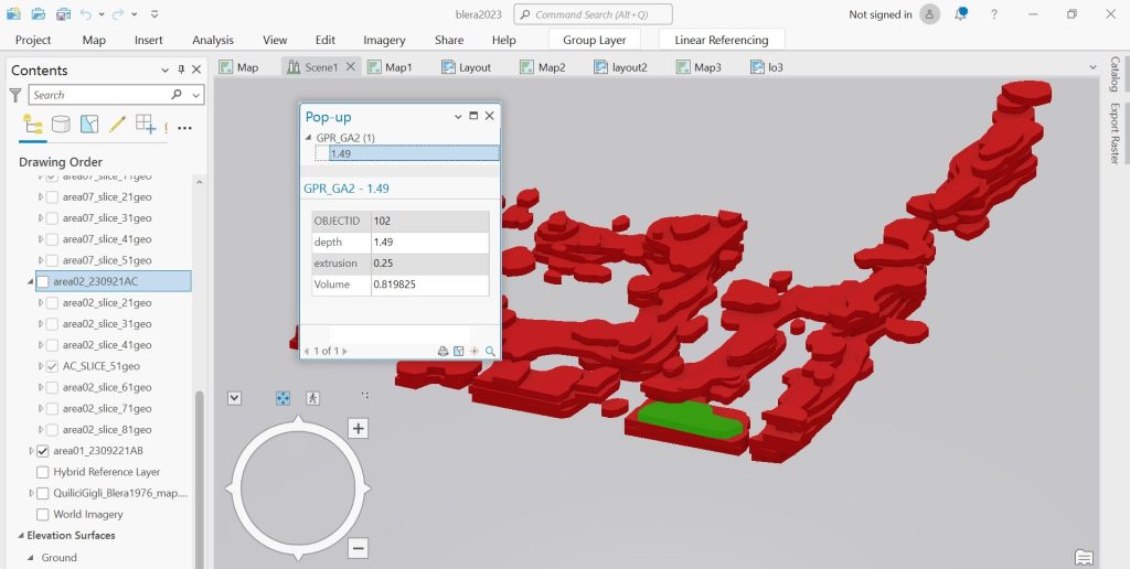
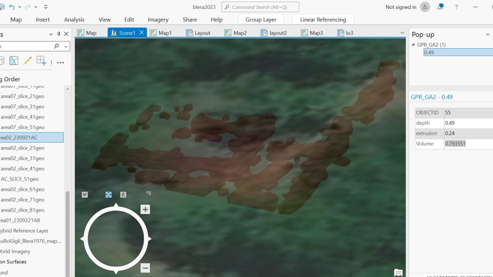
GPR-derived raster slices show us the presence of ground anomalies that can be interpreted as archaeological features. Each slice represents the distribution of GPR signal intensity in a given x,y area at a given z depth under the ground surface where the acquisition has been performed. By overlapping the different slices it is therefore possible to have a three-dimensional representation of the ground anomaly detected by the instrument. In GIS, each slice can be digitized in order to show the boundaries of what has been interpreted as part of the ground anomaly. Such digitization process allow us to obtain a polygon representation of the archaeological features detected by the GPR at the different sampling intervals. All these polygon can eventually be extruded to a height corresponding to the sampling interval represented by the raster slice they refer to. As a result, we obtain a 3D model of the volume that is the sum of all the ground anomalies detected and reported by the single raster slices.


